|


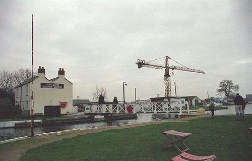
Click on thumbnail to view full size picture of Junction Bridge
CLICK HERE FOR WALKING MAP
FRAMPTON ON SEVERN to STONEPITTS BRIDGE
| Waypoint |
Map Reference |
Bearing to next waypoint |
| START |
SO 7463 0848 |
311 |
|
WP1
|
SO 7427 0879
|
39
|
| WP2 |
SO 7452 0909 |
60 |
| WP3 |
SO 7526 0951 |
47 |
| WP4 |
SO 7534 0958 |
126 |
| WP5 |
SO 7592 0915 |
131 |
| WP6 |
SO 7673 0845 |
179 |
| WP7 |
SO 7674 0818 |
304 |
| WP8 |
SO 7650 0834 |
261 |
| WP9 |
SO 7620 0829 |
286 |
| WP10 |
SO 7605 0833 |
239 |
| WP11 |
SO 7537 0792 |
228 |
| WP12 |
SO 7498 0757 |
204 |
| WP13 |
SO 7491 0741 |
261 |
| WP14 |
SO 7482 0740 |
270 |
| WP15 |
SO 7457 0740 |
209 |
| WP16 |
SO 7425 0685 |
199 |
| WP17 |
SO 7421 0673 |
7 |
| WP18 |
SO 7441 0817 |
36 |
| START |
SO 7463 0848 |
- |
General:- The map for this 6.5 mile circular route looks different to our others because is was submitted by Ron Harpham. It takes you onto the flood plain of the River Severn and you cannot but wonder how the landscape can be so different to that high on the escarpment only a few miles away. Frampton was quarried for gravel but the nearby Cotswolds was quarried for stone, now how can that be? There other differences too so see what you can discover, I'll leave you in the hands of Ron.
There is a pub in Frampton. (GPS length 6 miles).
How to get there: Turn off the A38 near Whitminster onto the B4071 at SO 7677 0672 towards Frampton on Severn. Park on the right hand side just before the canal at Fretherne Bridge.
|