W4 Information
Home Routes Introduction Navigation Contact us Links Step Out


Back Next  

104-0491_IMG.JPG (149408 bytes)

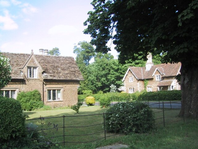
Click on thumbnail to view full size picture of Derry Hill

 CLICK HERE FOR WALKING MAP

DERRY HILL to CALNE

Waypoint

Map Reference

Bearing to next waypoint

START ST 9567 7054 95
WP1 ST 9692 7055 215
WP2 ST 9680 7040 217
WP3 ST 9660 6984 111
WP4 ST 9727 6965 121
WP5 ST 9770 6945 177
WP6 ST 9776 6881 62
WP7 ST 9907 6963 321
WP8 ST 9874 6990 19
WP9 ST 9874 7002 45
WP10 ST 9907 7026 71
WP11 ST 9974 7055 345
WP12 ST 9971 7077 285
WP13 ST 9896 7091 277
WP14 ST 9812 7087 323
WP15 ST 9712 7201 205
WP16 ST 9623 7153 186
WP17 ST 9699 7110 247
START ST 9561 7045

-

General:- An interesting 9 mile circular walk with a great variety of landscape. Much of it crosses the Bowood Estate, you can see the house in the distance and walk along the lake that formed part of the landscaped gardens. (GPS length 7.99 miles).

The return journey is by way of the redundant railway line between Calne & Chippenham. This is a lot better than it sounds, the views are good and there are enough railway remains to conjure the sound of whistles and the smell of steam. What's more it's always well drained and free of mud (it's now a cycle path). Pub at Calne and at the end of the walk.

How to get there:- Turn off the A4 Calne to Chippenham road onto the A342 @ ST 9482 7107, signposted to Derry Hill & Devizes. At the top of the hill you will see the large gatehouse of the Bowood Estate @ ST 9567 7054, park in the vicinity.